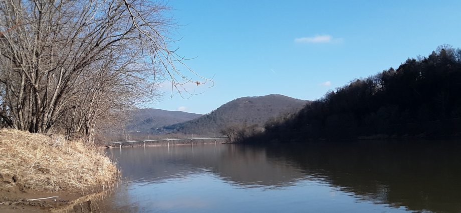
The Susquehanna River has been void of ice for several weeks now, as seen on Wednesday afternoon at Tunkhannock. An Arctic blast brought in by this weekend’s storm will likely produce pancake and shield ice again next week.
Photo and Weather synopsis by Rick Hiduk
A mild stretch of weather that included some near-record high temperatures last weekend is on its way into the history books, as north winds howl today. Snow showers will prevail for much of Thursday as temperatures tumble ahead of a tricky storm system
The long-term forecast follows:
Thursday: wind and flurries 38/15
Friday: partly cloudy 24/10
Saturday: snow and freezing rain 28/28
Sunday: partly cloudy 29/15
Monday: mostly cloudy 22/10
Tuesday: mostly cloudy 22/6
Wednesday: partly cloudy 27/11
Thursday: partly sunny 30/15
Friday: partly cloudy 35/25
Saturday: snow showers 35/26
The EndlessMtnLifestyles.com weather report is based on expected conditions at approximately 1,100 ft elevation in Meshoppen Township, Wyoming County, near the center of the Endless Mountains region. Residents of river towns can generally expect slightly higher temperatures, while those at higher elevations may experience lower temperatures. Send your Weather Window photos to endlessmtnlifestyles@gmail.com. Try to include a good horizontal/panoramic shot.
