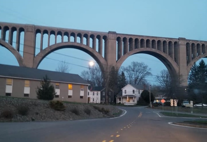
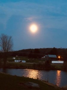
Nikki Walton Stone of Factoryville captured a shot of the full moon rising behind the Tunkhannock Viaduct (top) Thursday night, and Gail James of Meshoppen Township snapped the lovely photo above of the moon reflect off her pond a bit later.
Warm, humid air will fuel showers and thunderstorms this evening as a system that has produced numerous tornadoes in the midwest and south moves up the east coast. Current predictions are that we will be spared severe storms, but several inches of rain over a short period of time could cause flash flooding in areas generally prone to such events.
The Susquehanna River will continue to rise through Sunday, with expected crests below flood stage, including 21.6 feet at Meshoppen and 10.3 feet at Towanda. There are showers in the forecast through Tuesday, but the heaviest rain will fall Friday night into Saturday.
The remainder of the week looks drier with slightly above average temperatures. There is no frost expected in the next eight days.
The long-term forecast follows:
Friday: 72/60 heavy pm rain
Saturday: 70/50 morning showers
Sunday: 62/45 pm showers
Monday: 65/50 showers
Tuesday: 73/50 pm storms
Wednesday: 60/45 mostly cloudy
Thursday: 65/45 partly cloudy
Friday: 69/50 partly cloudy
Saturday: 67/50 partly cloudy
The EndlessMtnLifestyles.com weather report is based on expected conditions at approximately 1,100 ft elevation in Meshoppen Township, Wyoming County, near the center of the Endless Mountains region. Residents of river towns can generally expect slightly higher temperatures, while those at higher elevations may experience lower temperatures. Send your Weather Window photos to endlessmtnlifestyles@gmail.com. Try to include a good horizontal/panoramic shot.

