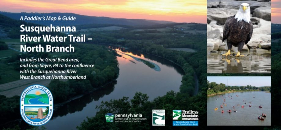
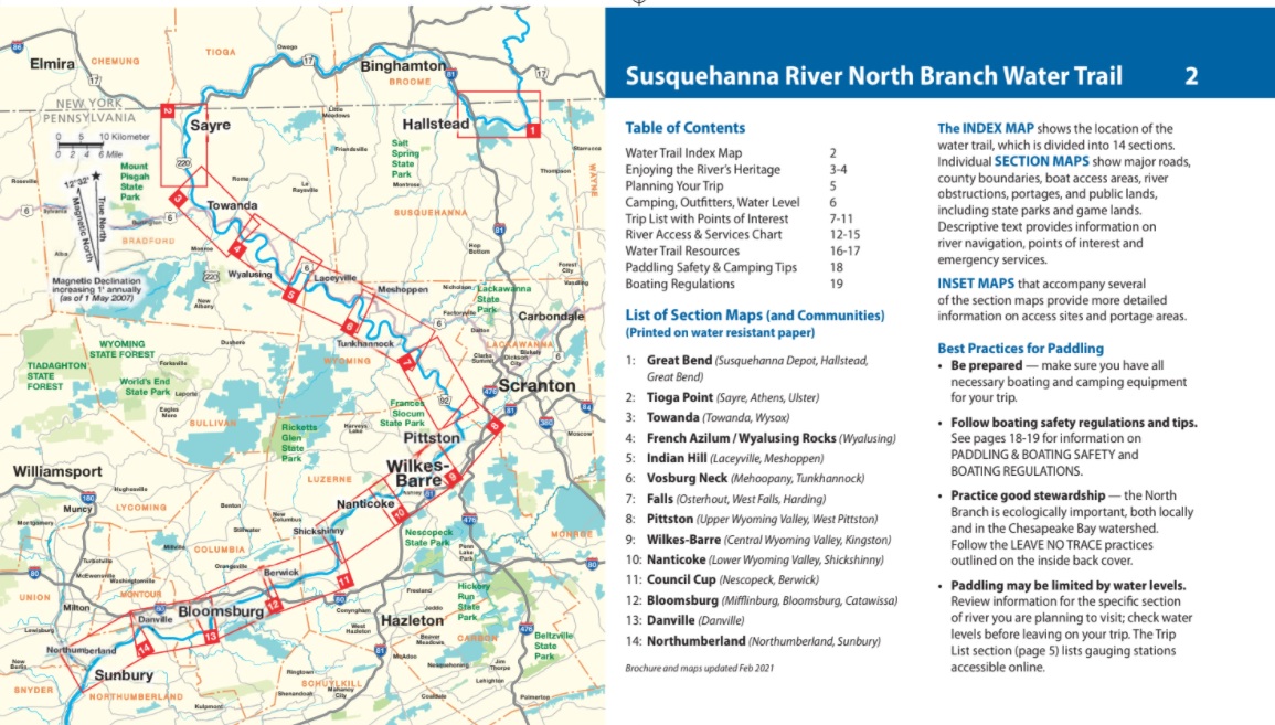
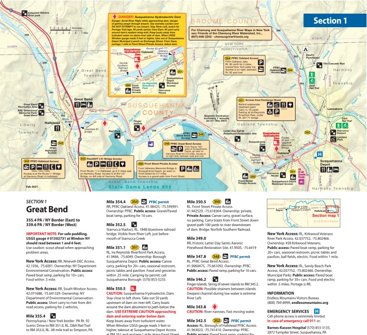
A view of the Susquehanna River from Wyalusing Rocks (top) graces the front cover of the new “Susquehanna River Water Trail – North Branch” maps that are now available for purchase through the Endless Mountains Heritage Region. The waterproof booklet contains 14 individual maps covering stretches of the North Branch from Susquehanna County to the Columbia County line. Section one, for example, provides details for the Great Bend area (below).
When the Susquehanna River became a National Heritage Area and an official water trail of the National Parks System, the Endless Mountains Heritage Region (EMHR) was designated as the managing organization for the river’s Upper North Branch.
Since then, the EMHR has doubled its efforts to bring attention to the historic waterway and increase awareness of its recreational potential, recently completing a collaboration with the Susquehanna Greenway Partnership to update water trail maps for the first time in a decade.
“This has been an ongoing process for over a year, so we’re incredibly excited to get these maps out to the public,” said Cain Chamberlin, EMHR executive director. “There were so many updates to make to both the upper and lower sections of the North Branch. But, thankfully, our water trail managers and the Susquehanna Greenway Partnership were ready and willing to help us out.”
The new “Susquehanna River Water Trail – North Branch” maps are made from custom waterproof paper and will be available for purchase at various retailers beginning in late April. The beautifully illustrated, folding maps were initially designed to aid paddlers and anglers by identifying river access points and state-owned islands from Susquehanna County to the Luzerne/Columbia county line. But they also provide a bounty of information about the history and ecology of the 180-mile stretch that flows through northeast Pennsylvania.
“I think people will be very impressed with the final product,” Chamberlin stated. “They are the perfect resource for planning your next North Branch adventure and will be available just in time for the new paddling season.”
Grant funding from the PA Department of Conservation & Natural Resources (DCNR) was instrumental in bringing the project to fruition, as was the work of Diane Turrell of DDH Design of Tunkhannock.
Maps may be purchased online at www.emheritage.org or by stopping at the EMHR office at 602 Main Street, Towanda. Maps will also be available for purchase at Endless Mountains Outfitters at Sugar Run, Susquehanna Kayak & Canoe Rental at Falls, Five Mountain Outfitters at Shickshinny, The Endless Mountains Visitors Center in Tunkhannock and the Bradford County Tourism Promotion Agency in Towanda.
In addition to the printed copies, the maps will be available in a digital pdf format at www.emheritage.org.
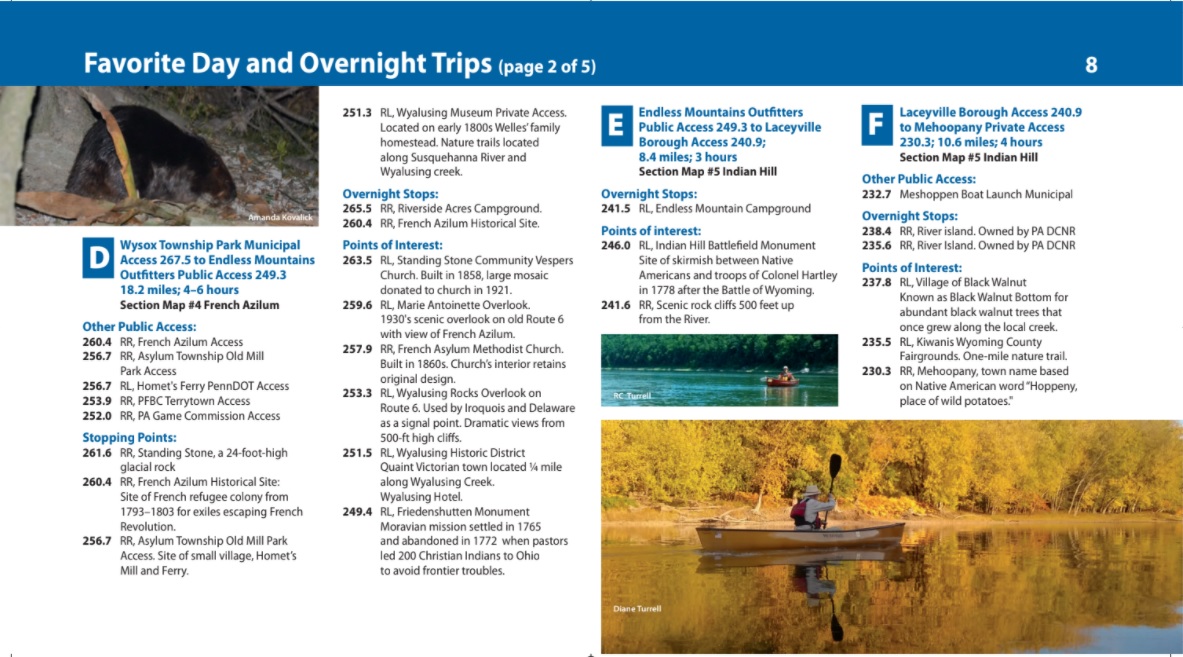
Additional points of interest (above) and tidbits of history and ecology are also included with the maps.
1 Comment