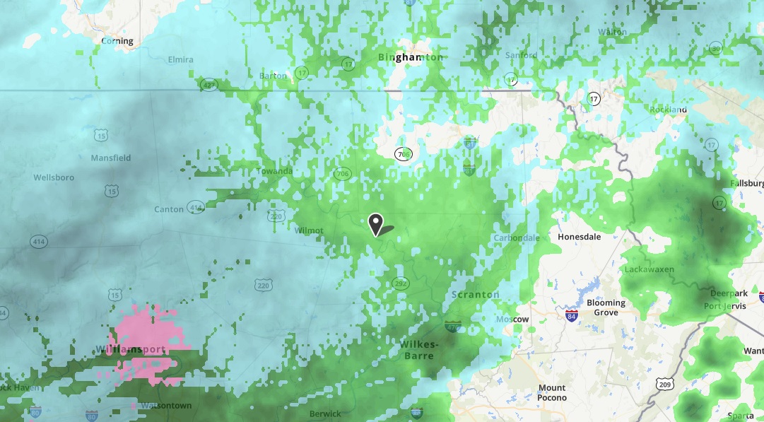
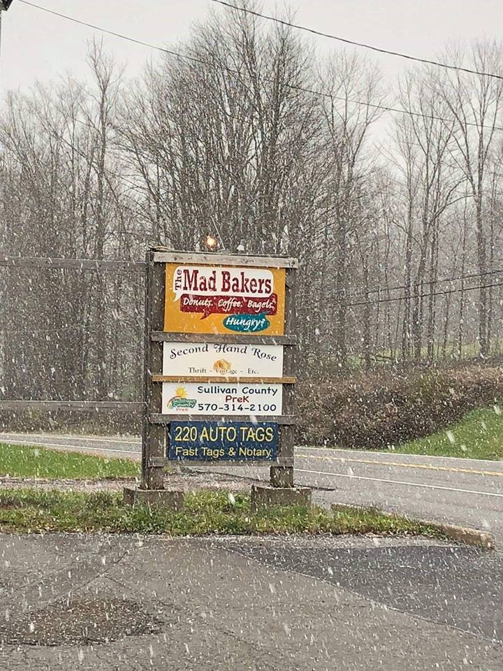
Snow filled the air across most of Bradford, Susquehanna and Sullivan counties this morning, as seen in front of The Mad Bakers in Dushore, Sullivan County. There was no reported accumulation on Route 220 (above) nor any other roads in the area. Wyoming County residents saw a mixed bag of snow and sleet that was changing over to rain by 12:30, as seen in the weather.com radar image (top).
Photo posted by The Mad Bakers on Facebook
A system that brought snow, sleet and cold rain to the region should wrap up as rain this evening, giving way to a blustery weekend and normal to below-normal temperatures in the week to come. Temps are likely to remain below freezing, in fact, from Tuesday evening through midday on Thursday.
The long-term forecast follows:
Friday night: 32 cloudy
Saturday:38/25 breezy
Sunday: 40/28 partly cloudy
Monday: 45/34 cloudy
Tuesday: 44/29 rain
Wednesday: 30/22 partly cloudy
Thursday: 35/25 mostly sunny
Friday: 38/26 cloudy
Saturday: 38/28 rain/snow
Sunday: 38/28 partly cloudy
The EndlessMtnLifestyles.com weather report is based on expected conditions at approximately 1,100 ft elevation in Meshoppen Township, Wyoming County, near the center of the Endless Mountains region. Residents of river towns can generally expect slightly higher temperatures, while those at higher elevations may experience lower temperatures. Send your Weather Window photos to endlessmtnlifestyles@gmail.com. Try to include a good horizontal/panoramic shot.