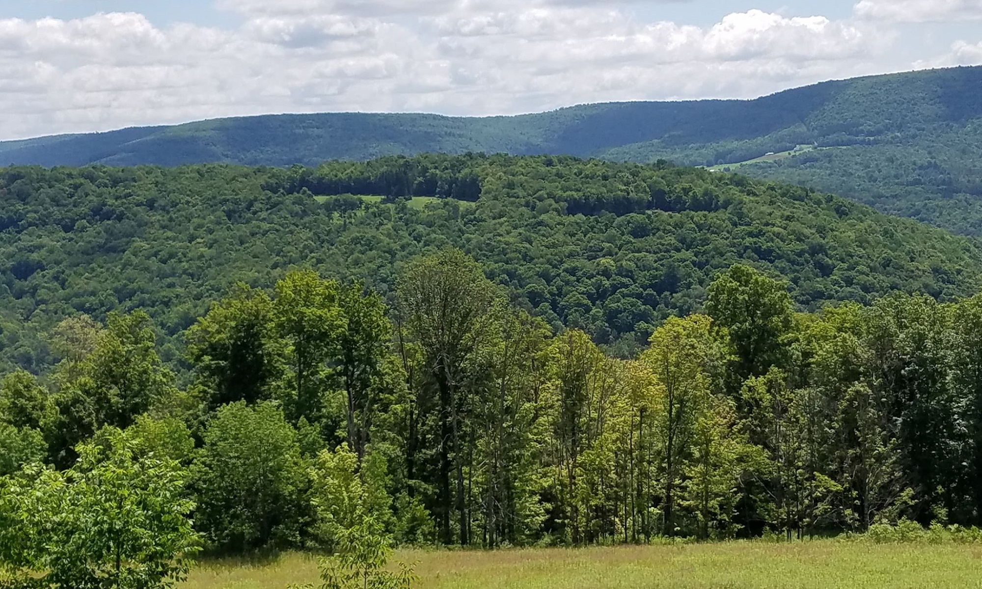
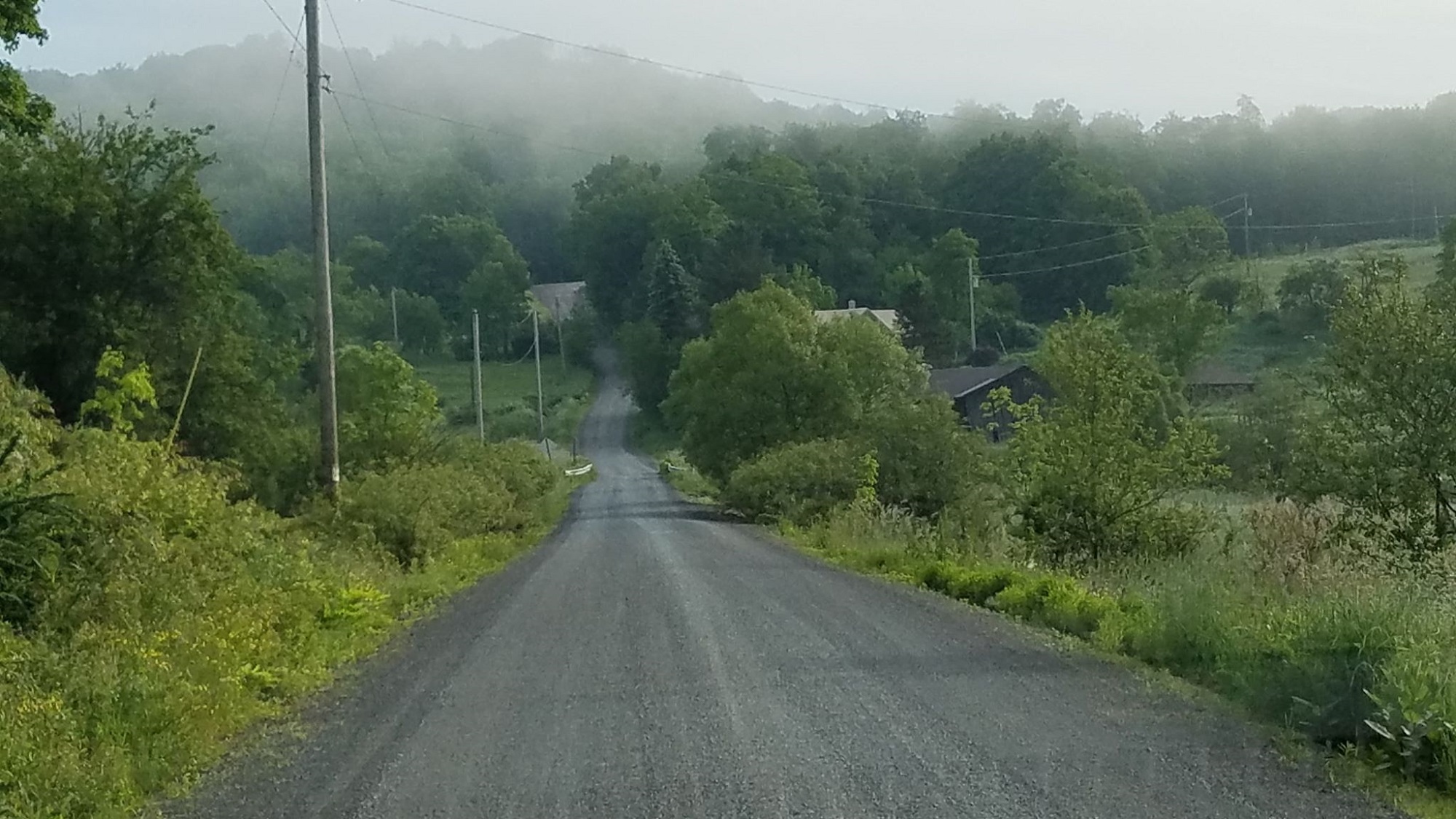
Some patchy morning morning fog around Sonestown Mountain in Sullivan County led to a stellar summer day with temperatures flirting with 80 degrees.
Photos by Debora Kelly DiBono
Daytime and overnight temperatures have inched up a degree or two each day since a cold front move last week’s heatwave out to sea.
The trend will continue over the next few days until a round of thunderstorms on Tuesday evening drops temperatures to more appreciable levels.
Higher elevations will experience early morning lows in the 50s again by mid week.
The long-term forecast follows:
Saturday night: some clouds 64
Sunday: PM showers 86/66
Monday: partly cloudy 88/68
Tuesday: PM thunderstorms 90/65
Wednesday: morning showers 80/62
Thursday: mostly sunny 83/60
Thursday: partly cloudy 82/60
Friday: partly cloudy 83/62
Saturday: chance of showers 84/64
Sunday: a few storms 85/65
The EndlessMtnLifestyles.com weather report is based on expected conditions at approximately 1,100 ft elevation in Meshoppen Township, Wyoming County, near the center of the Endless Mountains region. Residents of river towns can generally expect slightly higher temperatures, while those at higher elevations may experience lower temperatures. Send your Weather Window photos to endlessmtnlifestyles@gmail.com. Try to include a good horizontal/panoramic shot.