That dusting of snow that some residents in Bradford and Sullivan counties woke up to on Tuesday morning was nothing compared to what might be coming tomorrow and Friday.
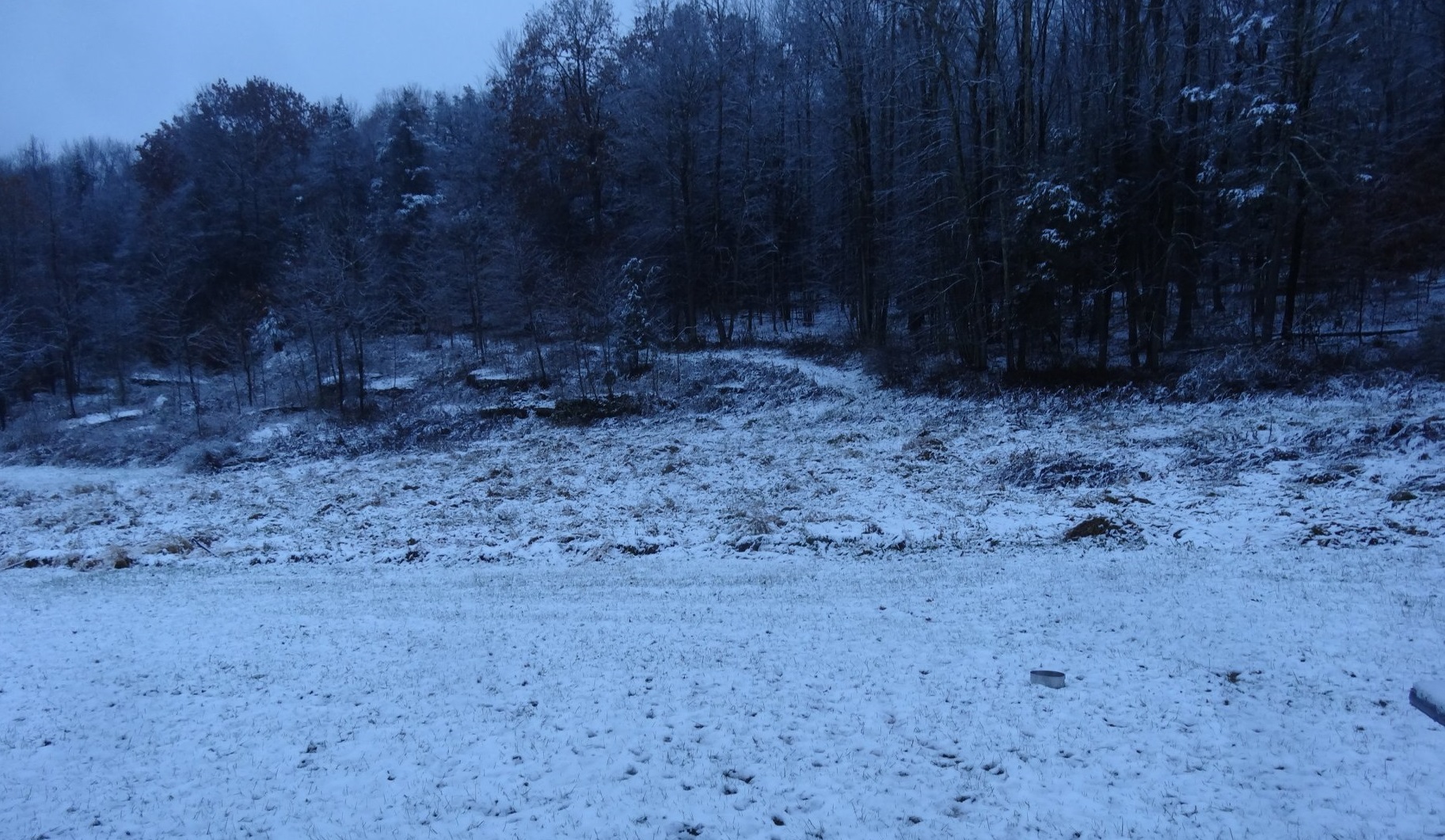
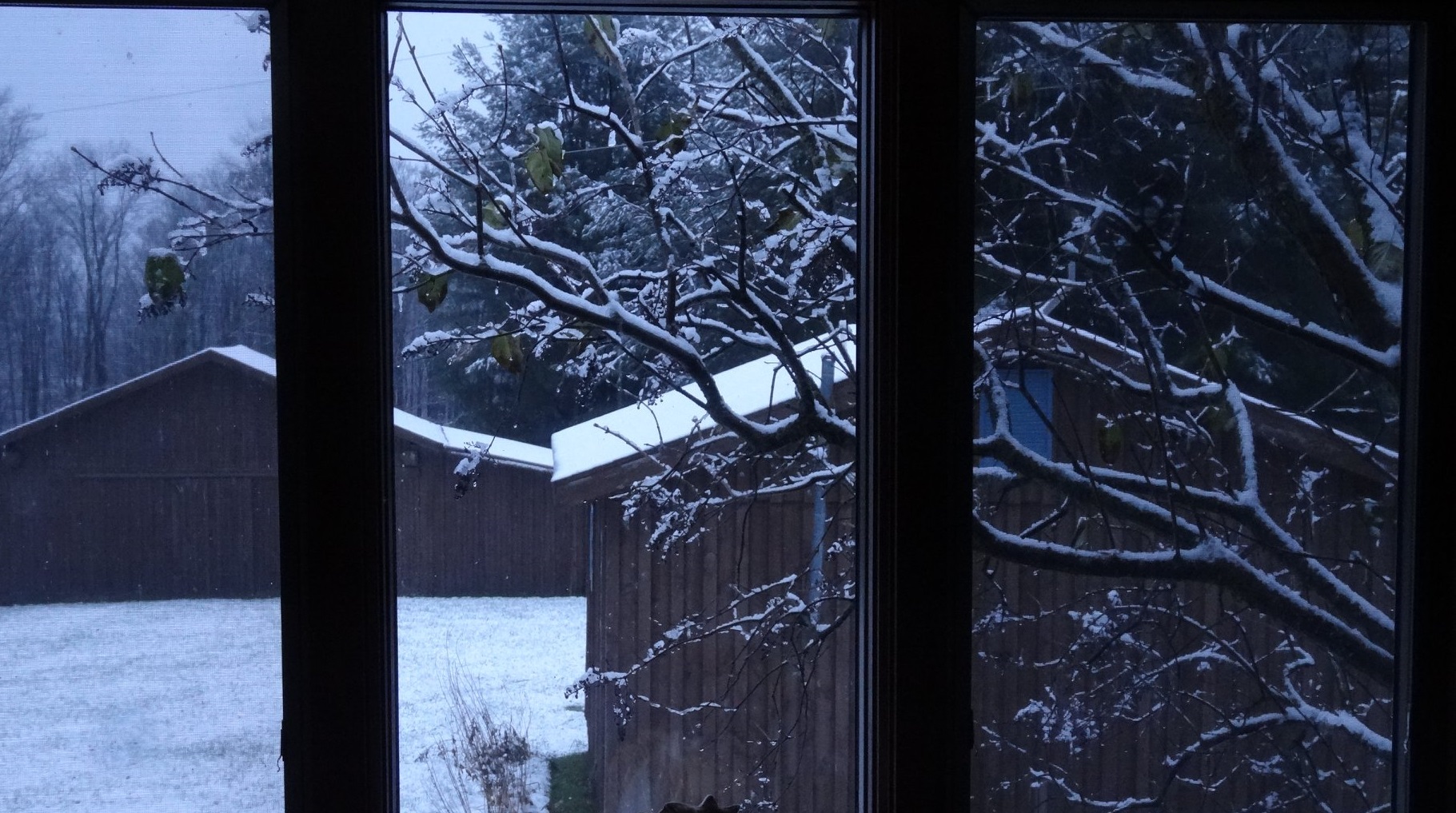
Photos by Diane Ward of Standing Stone Township
Significant wet snow and icing are probable tomorrow into Friday as a coastal storm develops and moves across the region from midday Thursday to Friday morning. The storm should start as snow, with a changeover to sleet and freezing rain for those at lower elevations. Cold air rushing in behind the storm should bring another round of snow showers on Friday morning.
Total accumulations could vary greatly, depending on elevation and how long its stays below freezing where you are. Estimates for the four-county region range from 3 to 12 inches.
Otherwise, temperatures will remain below average through the next week with additional chances for frozen precipitation.
The long-term forecast follows:
Wednesday night: 23 partly cloudy
Thursday: 32/28 afternoon snow
Friday: 38/32 morning snow
Saturday: 38/25 breezy
Sunday: 35/25 cloudy
Monday: 35/20 morning snow
Tuesday: 30/20 cloudy
Wednesday: 35/22 partly cloudy
Thursday: 35/25 mostly sunny
Friday: 38/26 wintery mix
The EndlessMtnLifestyles.com weather report is based on expected conditions at approximately 1,100 ft elevation in Meshoppen Township, Wyoming County, near the center of the Endless Mountains region. Residents of river towns can generally expect slightly higher temperatures, while those at higher elevations may experience lower temperatures. Send your Weather Window photos to endlessmtnlifestyles@gmail.com. Try to include a good horizontal/panoramic shot.