Photos by Karen Black
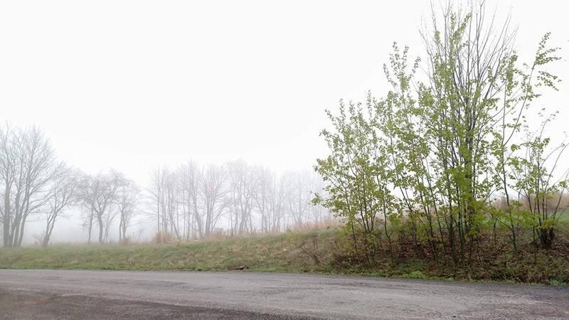
Fog spread its artistry across the morning landscape in Cherry Township, Sullivan County, as temperatures hovered in the 50s. As a stubborn blob of low pressure slowly shifts to the north and east, residents of the Endless Mountains will find a welcome change in the weather.
Expect a wave of warmth to overtake the region as the weekend approaches. The mix of sun and clouds will determine just how warm it gets, as well as your chances for a pop-up thunderstorm. Nonetheless, it will feel the most summer-like of any stretch so far this year.
Despite the clouds, temperatures should reach 70 in most back yards today, followed by a steady increase in daytime temps and mild evenings. More seasonable temperatures are expected to return next week.
The eight-day forecast follows:
Wednesday Night’s expected low: 55
Thursday – 75/58 (pm showers)
Friday – 80/60 (partly sunny)
Saturday – 78/50 (partly cloudy)
Sunday – 75/60 (am showers)
Monday – 80/55 (pm showers)
Tuesday – 67/45 (partly sunny)
Wednesday – 68/45 (sunny)
Thursday – 65/50 (showers)
The EndlessMtnLifestyles.com weather report is based on expected conditions at approximately 1,100 ft elevation in Meshoppen Township, Wyoming County, near the center of the Endless Mountains region. Residents of river towns can generally expect slightly higher temperatures, while those at higher elevations may experience lower temperatures. Send your Weather Window photos to endlessmtnlifestyles@gmail.com. Try to include a good horizontal/panoramic shot.

